
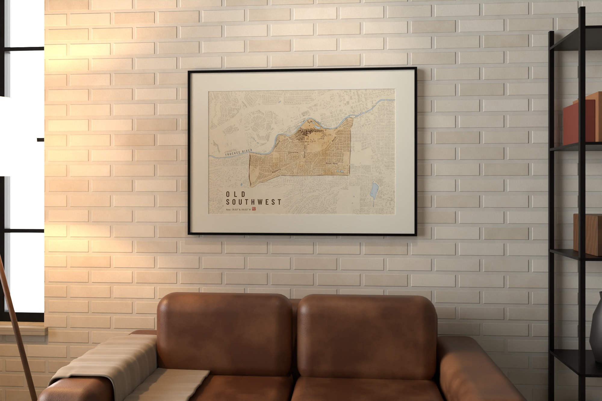
OLD SOUTHWEST
Reno, United States of America · 39.521° N, 119.833° W
Old Southwest, Reno, seen from straight above: the city in black ink, Old Southwest in its own ink under an ochre wash.
Frame 6,730 x 4,486 m, grid north up (EPSG:32611).
Buildings and streets: OpenStreetMap, as mapped now.
Roof heights: lidar for 99.9% of the roofs in the frame.
Old Southwest as Marco Rota draws it: Plumb, Arlington, McCarran, the Truckee.
The light is the series' low evening sun, the same on every sheet: a style, not a date or an hour.
SHOP-PRINTED
Open edition. Hahnemühle German Etching 310 gsm: 12 × 18 in, 16 × 24 in, 24 × 36 in.
HAND-PRINTED
Printed, signed and numbered by Marco Rota. 11 × 17 in on Hahnemühle Photo Rag.
Prints go on sale soon.
Map data © OpenStreetMap contributors. Credits and licensing